Hawke’s Bay in a Mobile Home (part 1)
In February 2022, my wife and I bought a mobile home to experience more of New Zealand, and with more freedom. It enables us to plan during the week where we want to go, and on Friday we head off for a long weekend. And on a few occasions, we changed our destination on the day, because of the weather. Freedom.
We named it “Viewfinder”, and that is exactly what it enables us to do.
As residents of Hawke’s Bay, we used many weekends to explore the region in more detail. Below follow some of the highlights.
Kairakau Beach
Kairakau Beach is a small coastal settlement in Central Hawke’s Bay with a camping ground and a basic, but very well positioned freedom camping site. It is an easy 30mins scenic drive from Waipawa, or an hour from Havelock North. The freedom camping site is right in front of the beach with high limestone cliffs behind you. It has fantastic views over the sea, looking straight at the Hinemahanga Rocks that are located approximately 800m off the Kairakau Beach coastline. A very nice place to watch people fishing and walking their dogs on the beach.
It takes about 10 minutes to walk the entire length of the beach, and, at low tide, it is a pleasant walk north to Waterfall Bay or beyond. The rocks and landforms offer plenty of interesting compositions for seascape photography and the closeness to the beach means that you don’t have to get up too early for a sunrise shoot.
Sunrise at Kairakau Beach
Warm sunrise colours at Kairakau Beach with the Hinemahanga Rocks in the background.
Dawn at Kairakau Beach
A colourful and calm start of the day at Kairakau Beach with the Hinemahanga Rocks in the background.
Stream towards the beams
These rocks caught my eye while walking along Kairakau Beach, Hawke's Bay looking for an interesting composition to shoot the rising sun. Clouds were rolling in, and I couldn't believe my luck when these sunbeams came through, appearing next to the Hinemahanga Rocks. The stream connects the rocks in the foreground to the sea and clouds in the top part of the frame. The pattern of clouds in the top right corner of the frame provides a strong visual counterbalance to the rocks in the bottom left corner, creating harmony within the image.
Message from Above
Beams of light during golden hour at Kairakau Beach, Hawke's Bay.
Ocean Beach
Ocean Beach is an attractive beach with its wide sweeping curved bay and fine sandy shore. Local Māori know it also as Waipuka. The beach, next to the more developed Waimarama Beach, is a local favourite due to its sand, strong waves, parking space, public toilets and surf lifeguards on duty during the summer months. Freedom camping is not permitted at the beach, but there is a camping site for NZMCA members (no longer available).
If you’re into walking, you can walk along the dunes to Whakapau Bluff, which is 8 km one way. You can spot the odd seal or gannet along the way. Alternatively, you can walk south towards Waimarama (7.5km one way), but check the tide before you go.
Ocean Beach Dawn
Getting up a few hours before sunrise to walk to Whakapau Bluff was worth it. As you walk along the dunes towards the bluff, large boulders appear that form interesting subjects for photographs. Especially when the light is still soft and warm.
Sand dunes make up approximately 22% of the Hawke’s Bay coastline and Ocean Beach is a large, important Hawke’s Bay sand dune system. It is one of the best remaining dune systems on the eastern North Island between East Cape and Wellington.
Dunes at Ocean Beach
This image captures the dunes at Ocean Beach during the golden hour in the morning. The warm, golden light at this time of day provides a warm ambiance, illuminating the scene with a soft, radiant glow. The sun hitting the tall grasses in the foreground with the rolling dunes in the middle with the bluff in the distance, create a sense of depth and dimension.
The grass in the foreground is also showing the impact of colonisation. The grass is called Marram grass, originally from Europe and North Africa, and was introduced to New Zealand over 100 years ago for dune stabilisation, property protection and to prepare sand dunes for the planting of conifers. It is considered a weed because it changes coastal landscapes, producing large steep faced dunes which are different in shape to those created by native vegetation and are prone to erosion. And it out-competes native grasses such as Pingao and Spinifex, so we are gradually losing the look of our native dunes.
Rippled Dune Landscape
The wind across the loose sand has formed beautiful ripples in the dunes at Ocean Beach.
Waipatiki Beach
Waipatiki Beach is just a 30km drive north of Napier, and is a picturesque settlement with native bush and a broad stretch of golden sand. It has coastal and bush walks that are well worth exploring. Among the dense native bush are wikahikatea trees, nikau palms, and kahikatea. It also has a nice spacious holiday park with basic facilities, which is close to the beach.
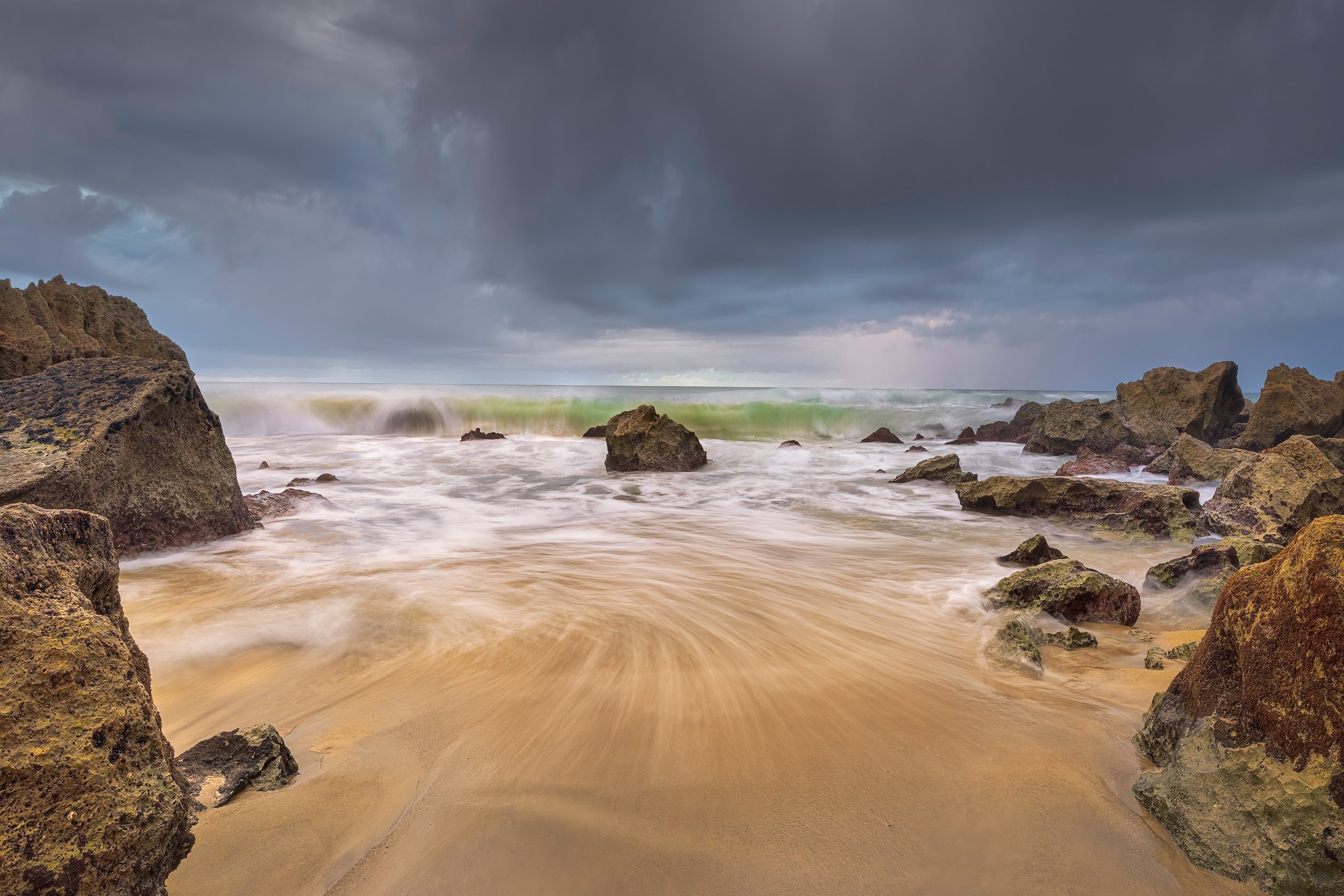
Caught between a storm and a hard place
As I went for my morning walk on the golden sand on Waipatiki Beach, an approaching storm brought dark, ominous clouds overhead. Despite the impending storm, there was the occasional ray of light breaking through the clouds, illuminating the beach and the breaking waves in a colourful and dynamic way. As I was standing in between the large rocks on either side with my tripod taking photos, I felt a bit small and vulnerable, yet so lucky to witness this display of nature.
Waipatiki Stream
The south side of Waipatiki Beach on a rainy ANZAC day with the Waipatiki Stream flowing into Hawke Bay.
Lake Waikaremoana
Lake Waikaremoana is located in Te Urewera in the north of Hawke’s Bay, 60 kilometres northwest of Wairoa and 80 kilometres west-southwest of Gisborne. It is home to one of New Zealand’s “Great Walks”, the Lake Waikaremoana Track that follows the lake and is a three to four-day tramp. We drove there in the first week of April which was a week after major rainfall that caused lots of flooding and slips. The rivers seemed to have been metres higher than normal in places. We stayed at the Waikaremoana Holiday Park that was very quiet.
We didn’t come there to walk the Great Walk, but we managed to do a few shorter walks. We visited the Papakorito Falls, which was a wall of water, and did the Hinerau Walk, which is 8.3 km long and leads you along the Aniwaniwa Falls.
Lake Waikaremoana Sunburst
The Black Beech Track leads up to a nice view of the lake and holiday park. A good spot for a sunset photo. The dense forest gets dark quickly, and I bumped into a hunter looking for deer on the way back. I turned on my headtorch when I saw him coming to warn him that I wasn’t a deer, because I think he’d heard noises, but had not seen me.
The 2-hour return walk to Lake Waikareiti is also a worthwhile trip. You follow an easy, well-maintained path that leads you through a beautiful native forest with lots of fungi to the shelter at the lake. You can continue around the lake from there, or turn around, which we did.
Lake Tutira
Lake Tutira (Tūtira), and the smaller Lake Waikopiro (Waikopirō) are located approximately 50km north of Napier. Lake Tutira is home to an abundance of wildlife and is a popular fishing spot. DOC manages a campsite at the southern end of the lake with basic toilet facilities.
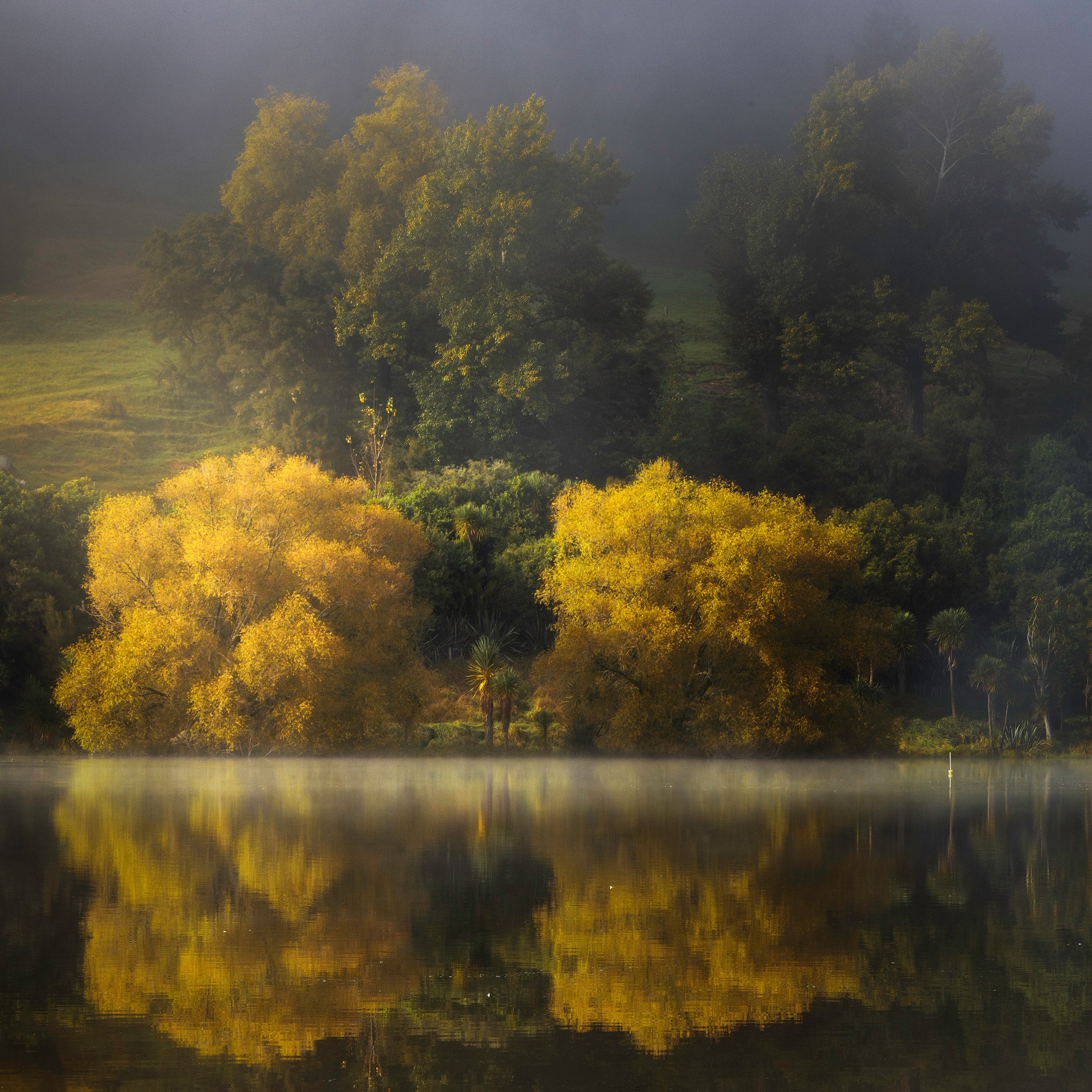
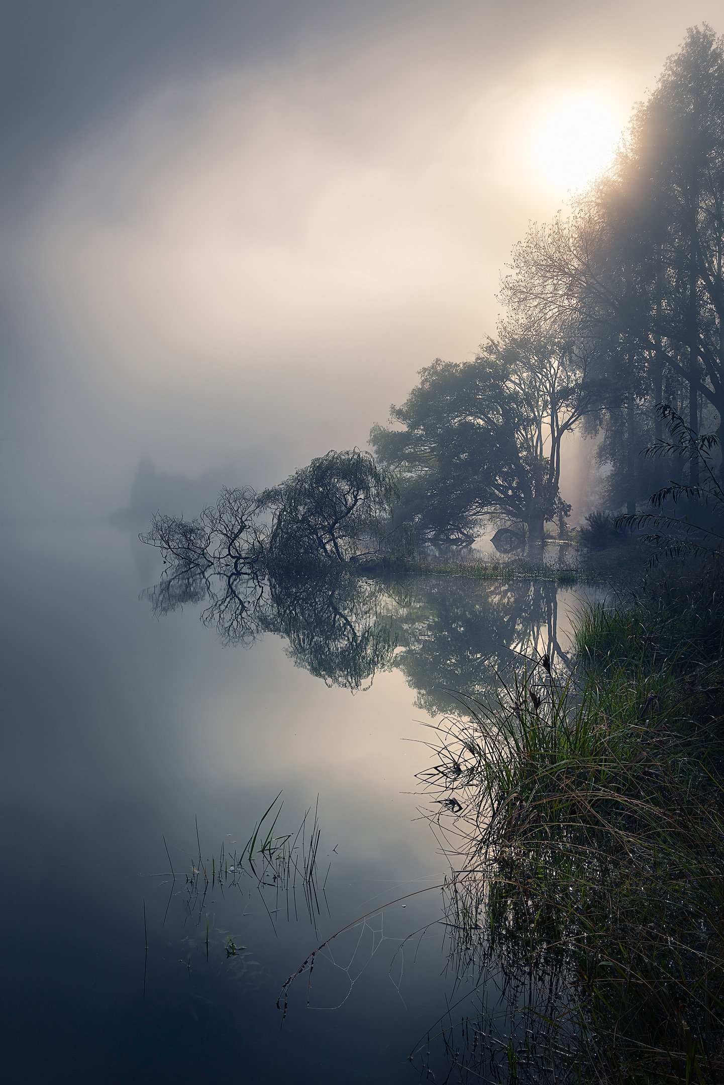
Both lakes are surrounded by magnificent trees that display awesome colours in autumn time. Mornings are often misty and calm, which creates lots of opportunity for moody photos.
Autumn colour at Lake Tutira
Golden Weeping Willow
A weeping willow tree catching the last of the light on the shore of Lake Tutira in the Hawke's Bay.


Often, Lake Tutira is shrouded in mist in the morning, creating wonderful opportunities for misty tree reflections.
Silhouetted Trees at Lake Tutira


A presentation of the favourite photos taken by Jos Buurmans in 2023.